If you want to check on the hikes that I completed so far as part of this challenge, go here.
Prologue: A hiking challenge is going on this year by the Department of Environmental Protection (DEEP) in the state of Connecticut where I live, “Sky’s The Limit”. We have to finish a hike in the chosen 20 Park and Forest locations before December 3rd this year Each location has some specific points of interest that the departments asks us to take pictures of and document them. Most of the Parks and Forests are located in an hours of driving distance, except a few. I decided to take this challenge and hopefully will be able to complete all of them. Here we go!
Next up is Kent Falls State Park. This is # 13 on the list provided by DEEP. I am not following the order they have listed. I am just going to any hike I can whenever I can from that list. 🙂
Kent Falls State Park is located in the town of Kent, Connecticut. The key feature of this state park is a series of waterfalls called Kent Falls, flowing down the mountain stream known as Falls Brook. This particular park and falls have been on my list for so long. Only reason I never could do it until this challenge was the distance I had to drive – at least 2 hrs on a good day it takes for me to drive my home to this Park. Well, finally finished it as well.
The State Park consists of 295 acres – most donated and some purchased – became a State Park in the 1930s. The park is a good place for hiking, picnicking and fishing, apart from visiting the gorgeous falls. A mere 1.5 miles but the hike was steep at the beginning to go up the trail to the falls, but after the trail was pretty easy with some beautiful nature around.
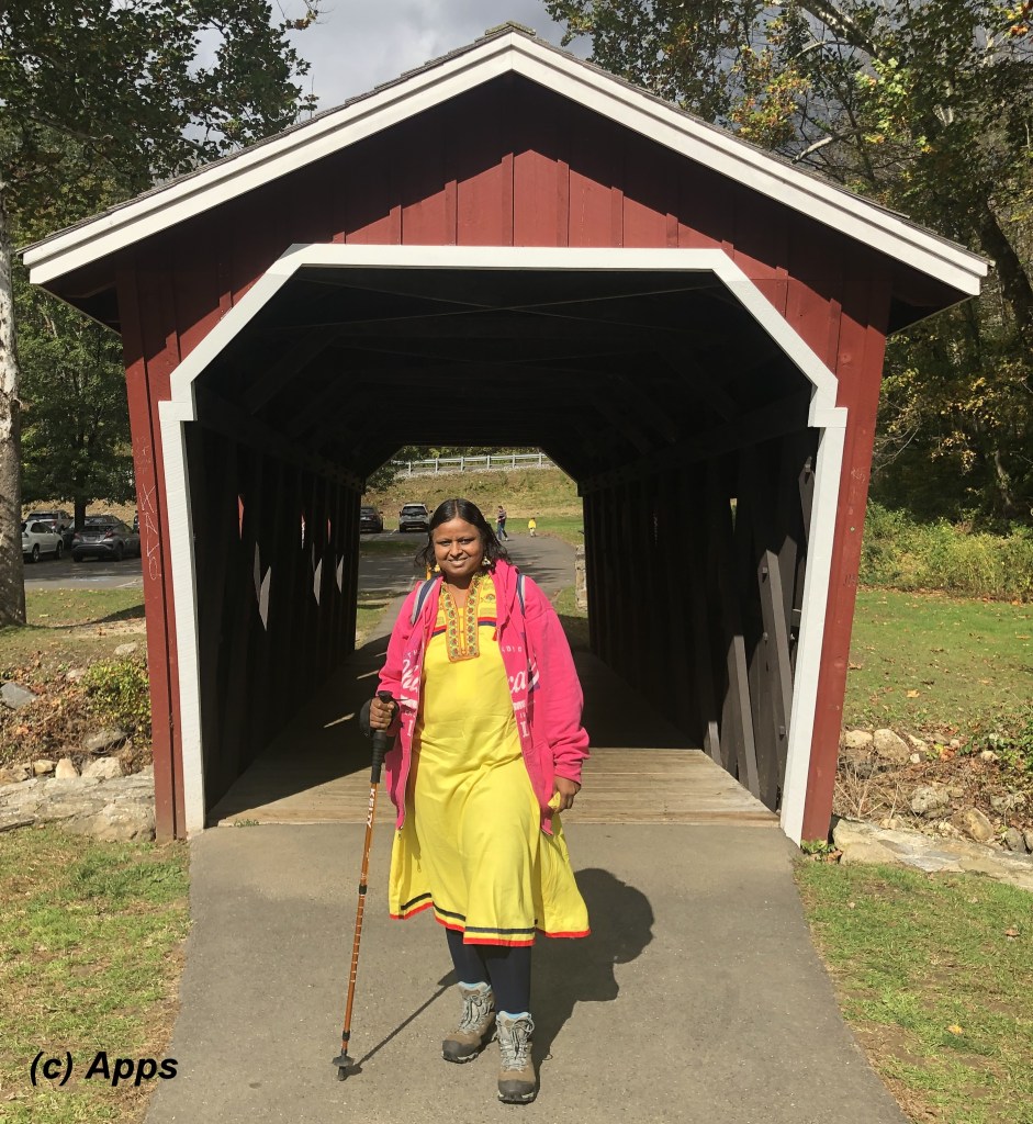
This covered bridge is an authentic reproduction built in 1974 by a park employee, Edmund Palmer.
As we went up the stone steps up the hill we saw these footsteps cemented into the path where the park maintenance perhaps had built a few steps.

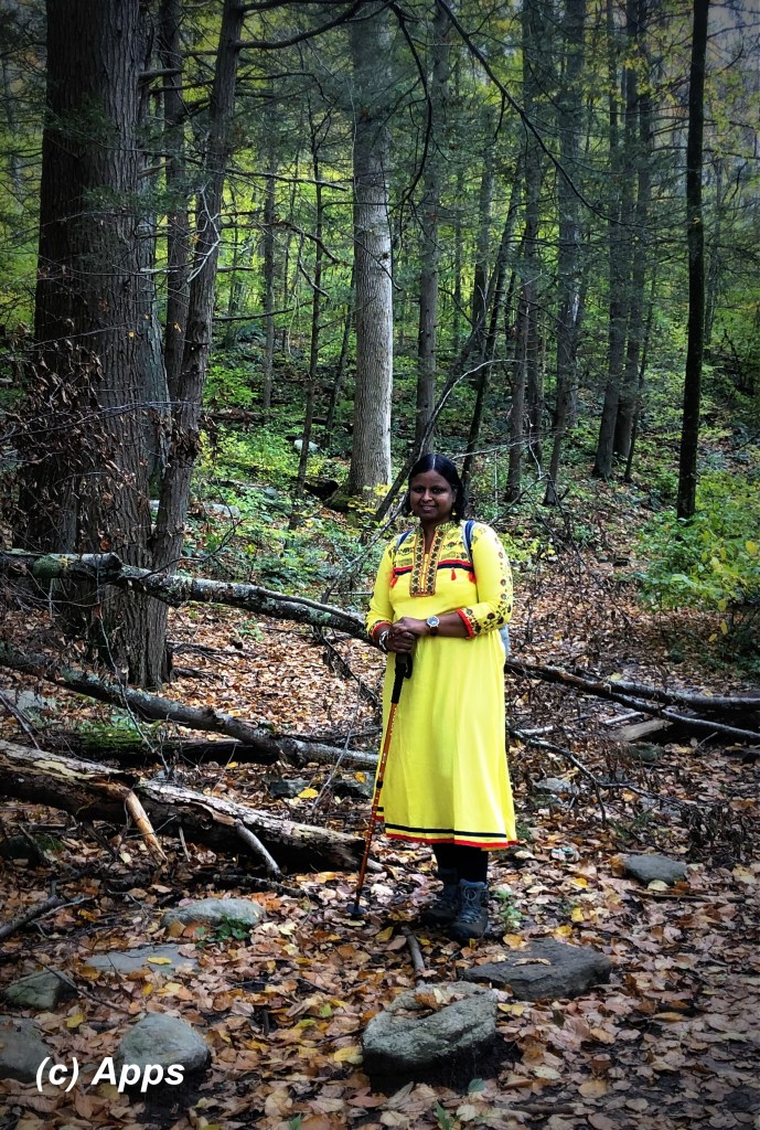
And we made our steps on the hike as well with the beautiful fall leaves.

The stairs took us to the point where the Falls Brook flows down to form the Kent Falls. We took a picture of us together here.

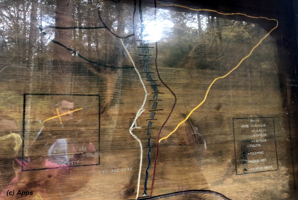
From there we went up to Dugan Road at the end of Red Trail to get into the Yellow Trail.

As we went up to Dugan Road, we came across this hand-written map and legend on the side. I saw this similar kind of hand-written map and legend on one of the hikes I went prior to this – Collis P. Huntington State Park.
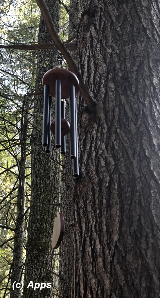
The fall colors surrounding us as always charmed us and showed us beautify at every turn of the corner. Someone hung this wind chimes in the middle of the forest sending sweet music as the wind flew.
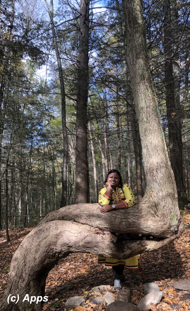
A large tree in this weird shape caught our eye too.
And of course this stone wall.

We did have a few showers on the way and a large downpour at the end of the hike. However the hike has been very exhilarating and fruitful. One of the best nature filled hike.

Beautiful pictures beta
LikeLike
Thanks amma
LikeLike